Saturday, September 30, 2006

Training For My MS Ride To San Diego


One week till my Multiple Sclerosis fundraising ride to San Diego. Click on the link in the sidebar or the title page to donate.
Today's ride was from Long Beach along PCH to Newport Coast. Chugged up that hill, down San Juaquin Hills Rd, up Jamboree, east on University, and north along Harvard to Palace Park on Michelson. This is where the MS 150 will begin next Saturday.
Took the route the ride will use to PCH and headed north back to Long Beach.

Tuesday, September 26, 2006

The Yorba Linda Challenge


Took the El Cajon Canal Trail (Rose Dr and Verna Ln) which runs through residential areas, horse trails, Yorba Linda Country Club, and the Nixon Library. It ends at Esperanza Rd, from which I headed up Fairmont Blvd. This began three hill climbs (Fairmont, Hidden Hills, Camino de Bryant) totalling 3179 vertical feet. Great hill workout with views of many beautiful homes.

It seems strange to go on a ride and not see green jackets and jerseys ahead of me, and not see orange bike tags ahead of me, and not hear people pass me saying: "On your left, Michael."

Up Fairmont Blvd. . . Down San Antonio Rd

Up and Down Hidden Hills Rd

Up Camino de Bryant . . . Down Kodiak Mtn Dr.


Thank you to
Wayne and Elaine Tamashiro

and
Carla Valentine
for their donations to my charity rides

Saturday, September 16, 2006

Some Facts About My San Fran to LA Ride

Total Miles: 512.7
Total Saddle Time: 39 hours:11 minutes
Approximate Number of Pedal Turns: 183,378
Total calories expended: 22,241
(equivalent to five slices of the Claim Jumper Chocolate Motherload Cake)

Total Number of Heartbeats: 306,159
Total Number of Vertical Feet Climbed: 20,681

Mt. McKinley, the highest mountain in North America, is 20,320 feet.

Day 8 - Ventura to Santa Monica - 60 Miles

Left San Buenaventura State Beach and headed south to the Channel Island harbor.
Point Mugu is where the Navy has its guided missile and drone programs since WWII.
Caution! Rock slide ahead.I guess every sport has it's dangers.
Another meaning to "Doored". This happened right in front of me on HWY 1. The lady tried to make a quick U turn before and in front of speeding traffic, but forgot to close her door first.
One last view north, eight fabulous days of cycling.
At last, a view south to Malibu and Santa Monica.
Could this be our final climb? Surprise! One more short steep climb up Entrada to San Vincente in Santa Monica, three miles from the finish.
Final check point 59.5 miles, 4hours:17 minutes, 14.7 MPH average speed, 1499 feet total ascent.

After 510 miles I still have enough for a bike lift.

Friday, September 15, 2006

Day 7 - Solvang to Ventura - 89 Miles

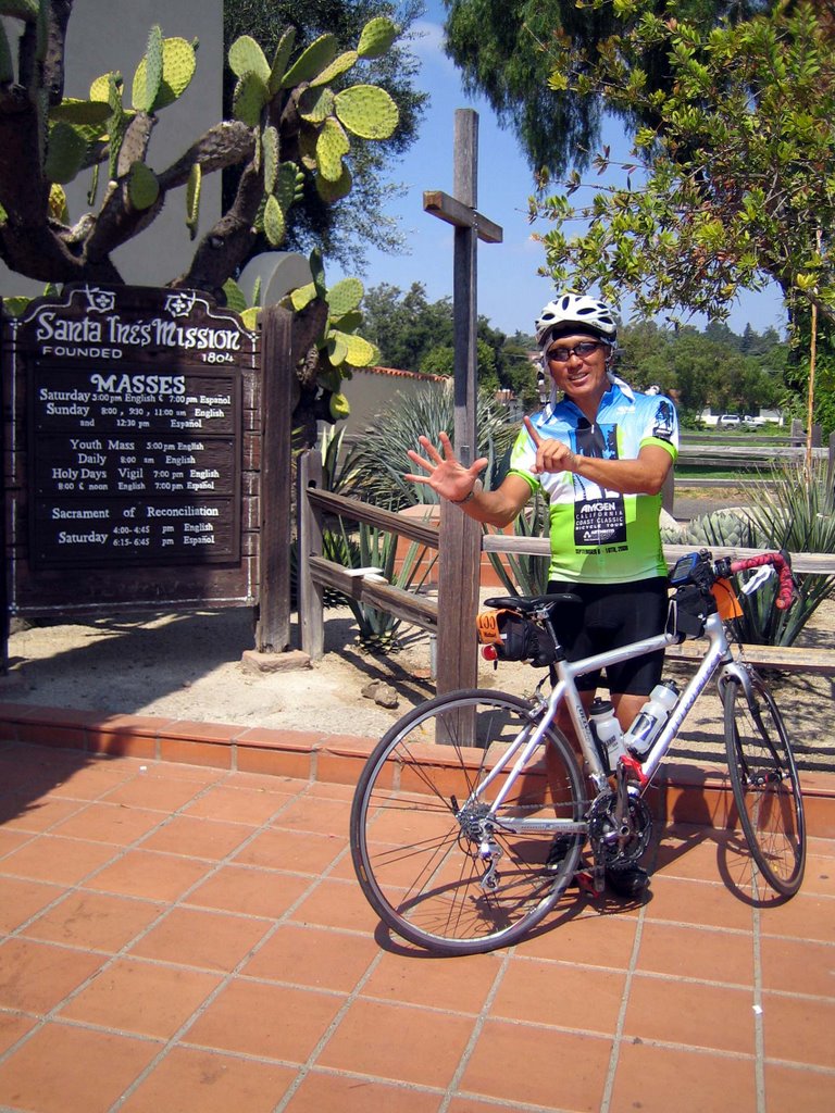
Left Solvang this morning half asleep. Notice I forgot my water bottles. I would have never made 80+ miles without them. Thank you to Donna for getting them from the hotel. It takes me over an hour to get ready for the ride. . .clean my bike, pump tires, warm-up exercises, two cameras, GPS, cycling computer, heart monitor strap, cell phone, socks, shoes, leggings, shorts, jersey, jacket, Under Armor, skull cap, helmet, gloves, sun glasses, sun screen, and lots of Chamois Butter. Oh, and two water bottles.
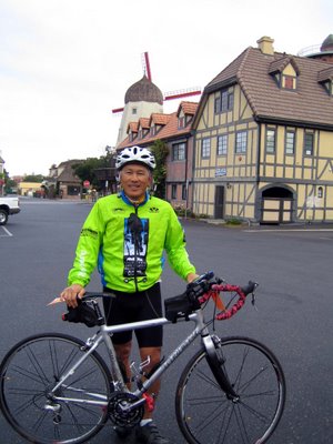
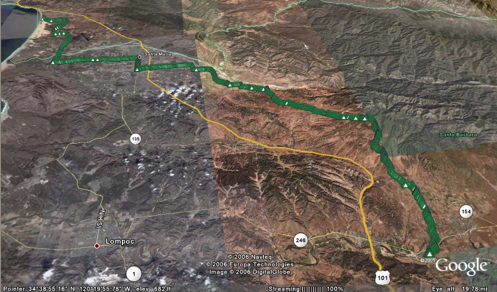
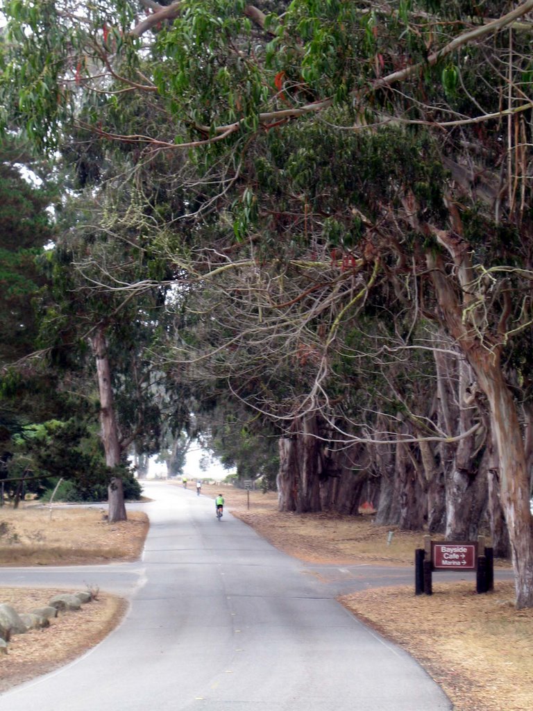
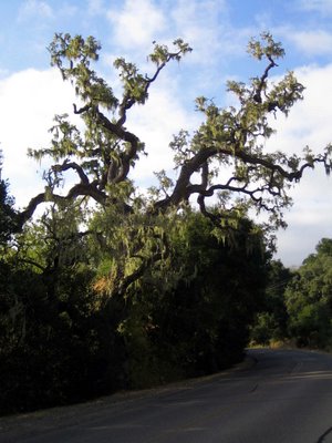
We started out of Solvang heading south along Alisal Road. Passing by two golf courses and Oak Trees, some covered with hanging Spanish Moss (which is in the pineapple family).


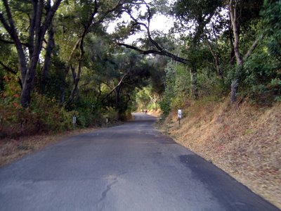
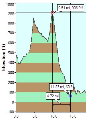
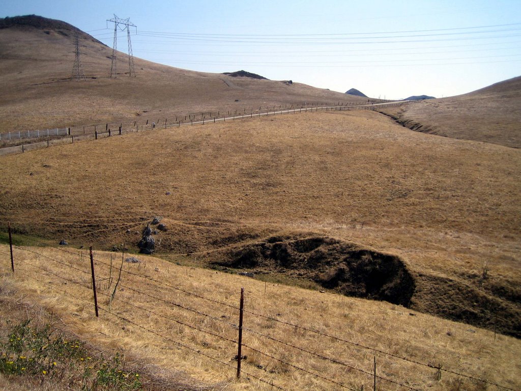
Alisal Road took us to Hwy 101, a short hill climb and the downhill of my lifetime. An 850 foot vertical drop, speed peaking out at one tick shy of 40 MPH. The downhill lasted about 9 minutes, but it felt like a lifetime, especially with cars and trucks zooming by.
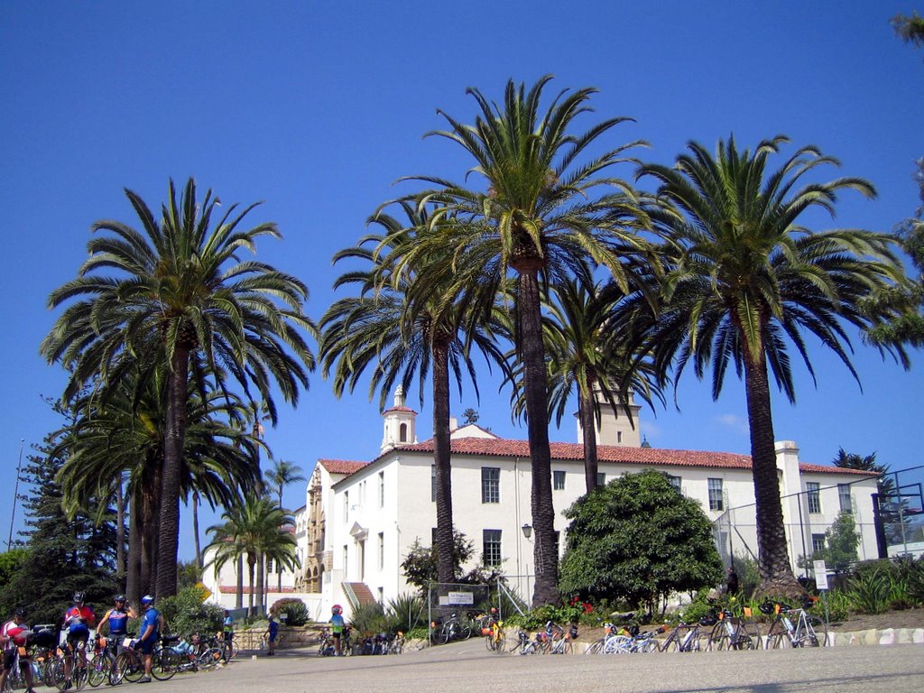
We headed south along Hwy 101, entered Goleta, through UCSB, and into Santa Barbara via State Street.
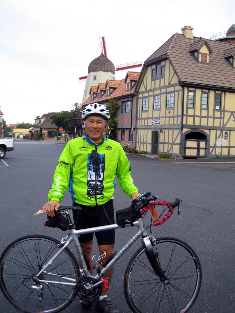
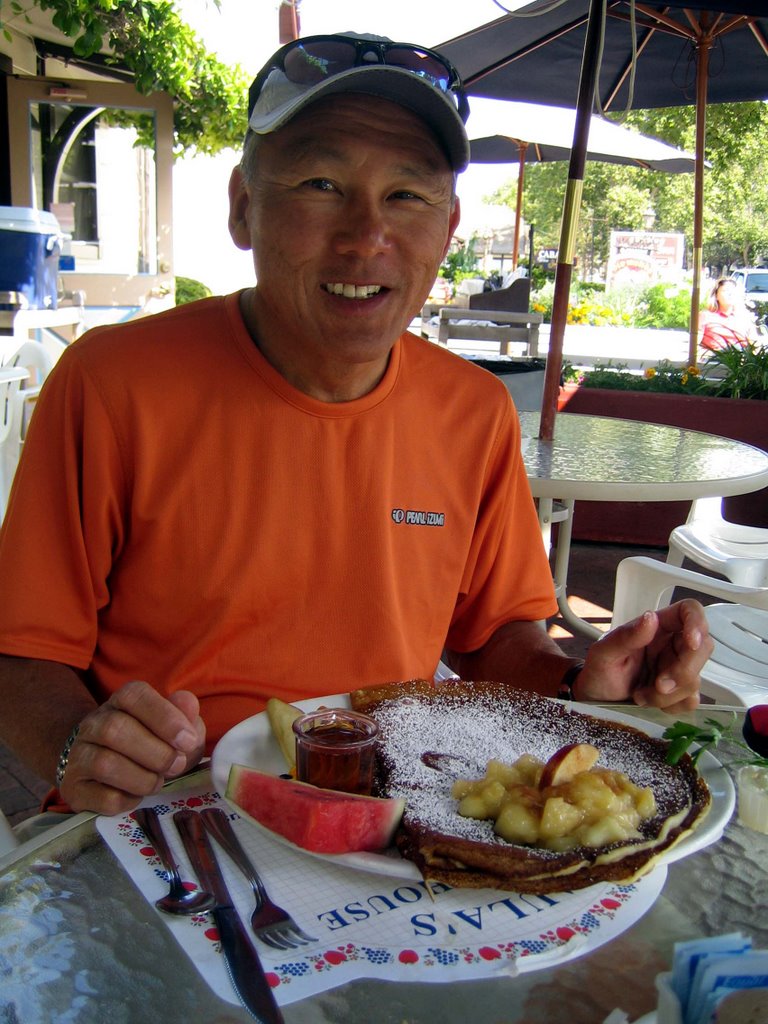
Check point Mission Santa Barbara, where I met Donna for a relaxing lunch. Only 44 miles left to go to our final destination in Ventura.


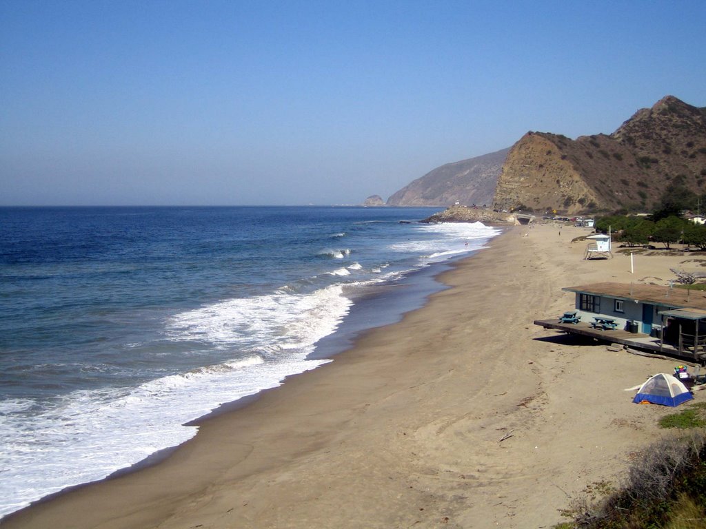
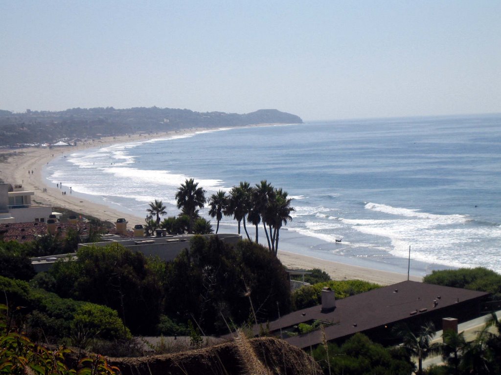
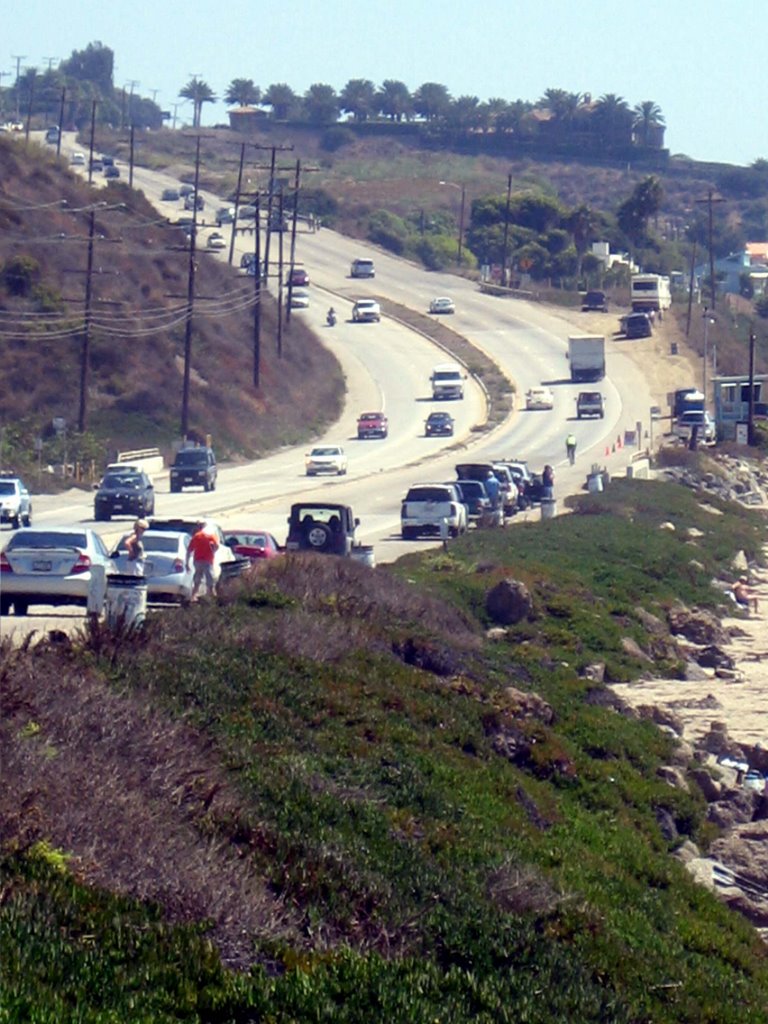
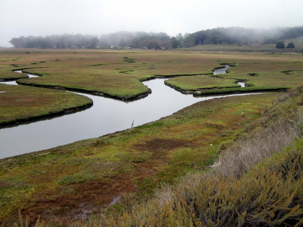
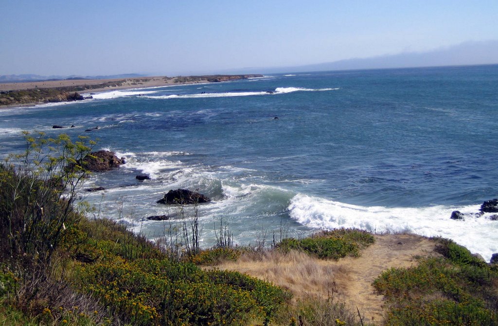
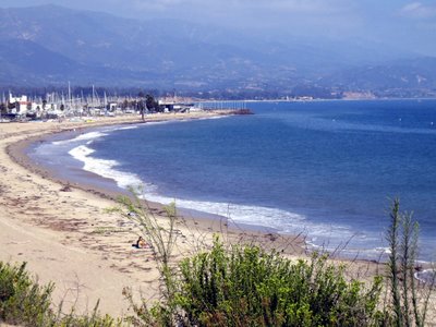
After lunch we circled back around Santa Barbara through Hope Ranch, and down to the harbor. Bike trail and back roads brought us to Montecito, Summerland, Carpinteria, and the Rincon Beach Park.


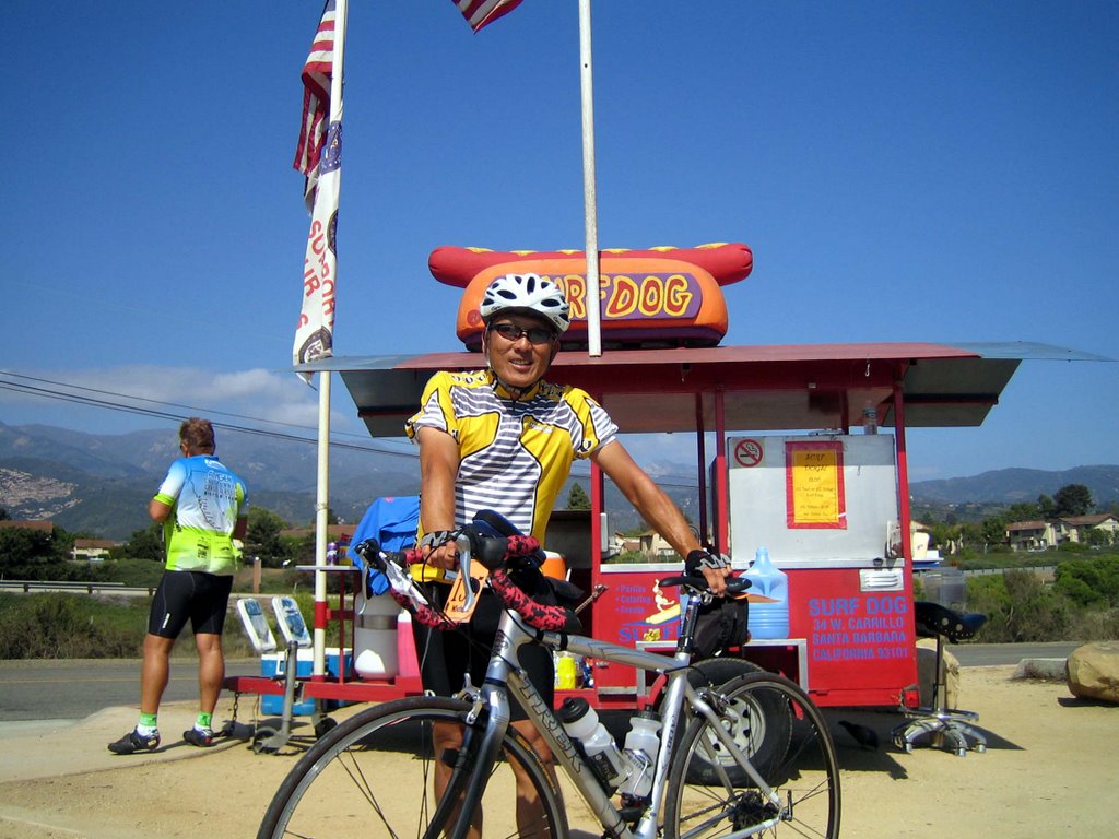
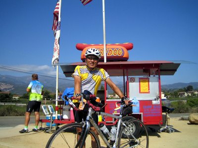
Be sure to stop in at Surf Dog located at the southern end of Carpinteria near the freeway ramp. Billy will fix you up the best hot dog.


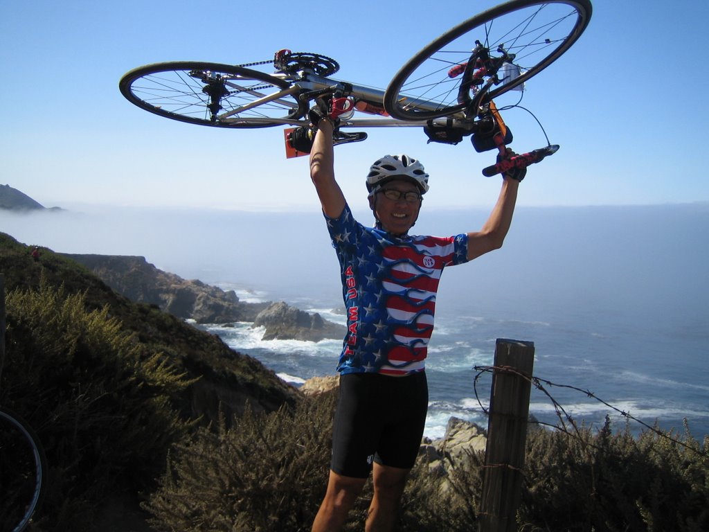
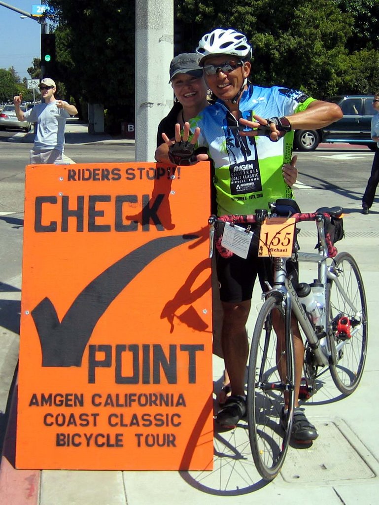
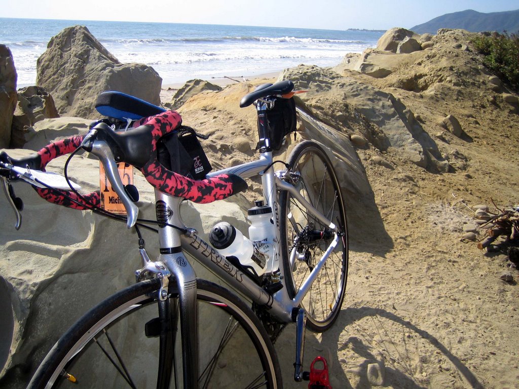
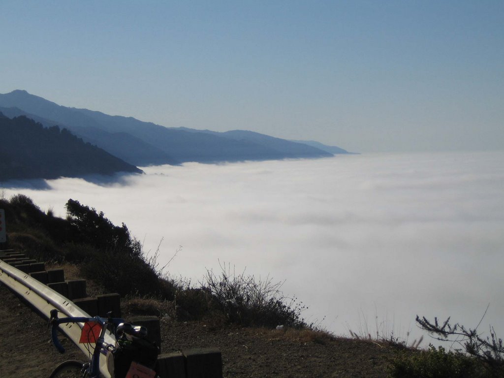
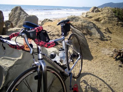
My rig has been very reliable after 450 miles of hard biking, no major breakdowns, no flats - so far. I've been cleaning and lubing the chain every day.


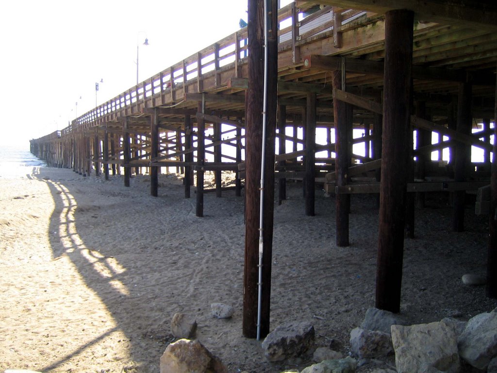
After 88 miles, the Ventura Pier was a welcomed site.

This was my longest ride ever.
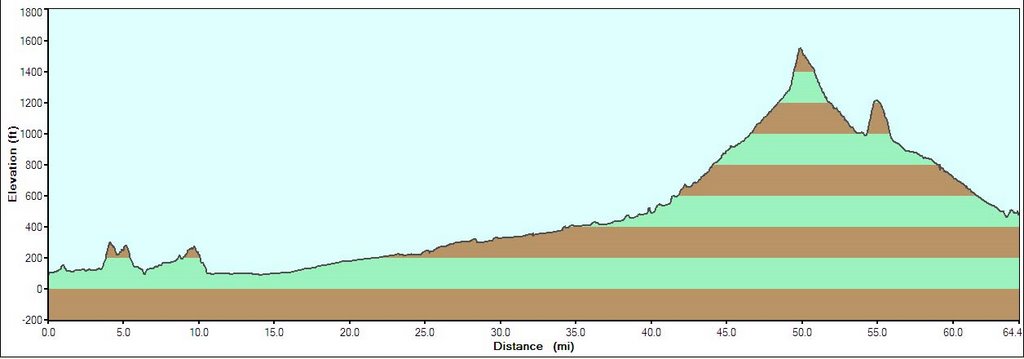
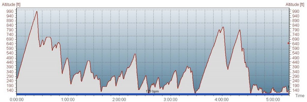
Completed day 7: Total distance 89 miles, 6 hours:16 min, 47,481 heart beats, average speed 14.5 MPH, total ascent 1801 feet, total descent 3150 feet, energy expenditure 3392 kcal. Thinking of riding this buggy into Santa Monica tomorrow.

Thursday, September 14, 2006

Day 6 - Oceano to Solvang - 64 Miles

Our route today took us from the coastal sand dunes of Pismo Beach inland to Guadalupe and Santa Maria. It was cold, foggy, and damp for the first 3 hours of the ride. Temp was 52 but with the wind it felt like 42. A 39 mile climb from 95 feet to 1548 feet. The last 300 vertical feet, after already biking for 50 miles was a killer. The downhill into Solvang made it all worthwhile.
East out of Santa Maria is all agricultural land. This machine plants the seedlings automatically. The workers just insert the plants into a rotating wheel.

I expected Children of the Corn, but . . .
. . . only got a scarecrow.
Harvest season is just around the corner.
Biked along the Foxen Canyon Wine Trail where the movie "Sideways" took place. The Hitching Post for dinner sounds good. Maybe we'll close out the bar tonight.


Fes Parker's coonskin biking helmet.


Completed day 6 at the Santa Inez Mission in Solvang. 64 miles, 5 hours, 2500 ft ascent, 2842 Calories.Donna's treat to me-Danish pancakes with hot cinnamon apples.

Wednesday, September 13, 2006

Day 5 - San Simeon to Pismo Beach/Oceano - 60 Miles

Breakfast burritos served on the beach, then a relatively easy ride with very little hills to speak of. I used today's ride as a "recovery ride", trying to keep my heart rate around 125.

The first three hours was in the cold, misting fog through Cambria, Cayucos, and Morrow Bay.


Once through the Morrow Bay State Park, our route then turned inland into the Los Osos Valley. The biggest climb was Turri Road, 250 vertical feet over 2 miles.
Rolled into the Oceano campground just before 1 pm, successfully completing day 5. Ride time 4 hours: 10 minutes, 60 miles, average speed 14.6 MPH, average heart rate 125, total ascent 1699 feet, total Calories 2214.

Tuesday, September 12, 2006

Day 4 - Big Sur to San Simeon - 63 Miles

Today was a five hour roller coaster ride. Hanging in there on the uphills at 6 MPH, and hanging on for dear life on the downhills at 30 MPH. The fastest I clocked was 36 MPH. Below is an altitude graph of today's ride. The ride started with a two mile climb from 250 ft to 990 ft.

After a hearty breakfast, we were ready to take on the day.

The fog hugged the coastline for most of the morning, sometimes blowing up onto the roadway, making it difficult to see on the descents.

Most of Hwy 1 runs along a 200 to 700 foot cliff with only a guardrail preventing you from going over.


The fog finally lifted at about 11:00 am. Now we could see where we were going.

My "lunch" at Ragged Point Cafe-unfortunately they were out of shakes. What's up with that?

Spinning into San Simeon at 20 to 27 MPH on a nice tailwind. Stopping to check for elephant seals. There were only a few on the beach.


Nice relaxing evening, updating my blog, having apple pie a-la-mode, and listening to the surf crashing outside our door.Today's ride was 63.5 miles, 5 hours:18 min saddle time, total ascent 4701 feet, and burned 2949 Calories.
Thank you all who have called, e-mailed, and commented on my blog wishing us well. Donna and I are having a great time. On to Morrow Bay, San Luis Obispo and Pismo Beach